Leicestershire drone services
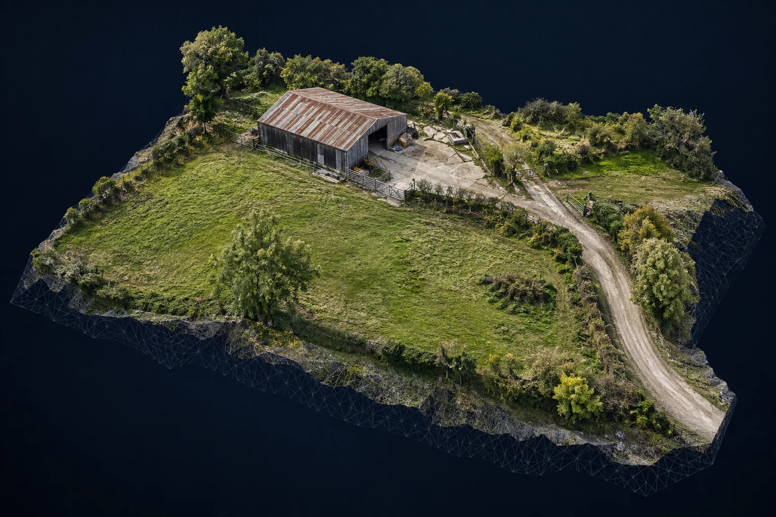
Aerial mapping — visual site overview
Overlapping aerial imagery combined into a visual site overview, subject to equipment, processing and site suitability.
What this service offers
A visual overview can bring separate aerial views together to make a site easier to understand. For suitable projects, we can also discuss 3D visualisation. The proposed output and what is achievable are agreed after reviewing the location and requirements.
For site visualisation, project discussions and visual records.
What we can capture
- Overlapping imagery for a suitable site
- A combined visual overview where feasible
- 3D visualisation considered for suitable projects
Planning your project
This is not professional surveying, boundary determination or certified measurement. Outputs must not be relied on for engineering or legal decisions. Equipment, processing and site suitability determine the achievable result.
Hyde Aerial is based in Leicestershire and welcomes enquiries from Leicester, Loughborough, Hinckley, Coalville, Melton Mowbray, Market Harborough and surrounding areas. Share the postcode so we can assess travel and feasibility.
Every project is subject to a site and airspace assessment, suitable weather and any required permissions. The quote confirms the scope, agreed deliverables and timing before you book.
Let’s plan your project
Start with a location and an idea
Tell us what you need. We will discuss the brief, assess feasibility and prepare a quote.