Leicestershire drone services
Farm and land photography
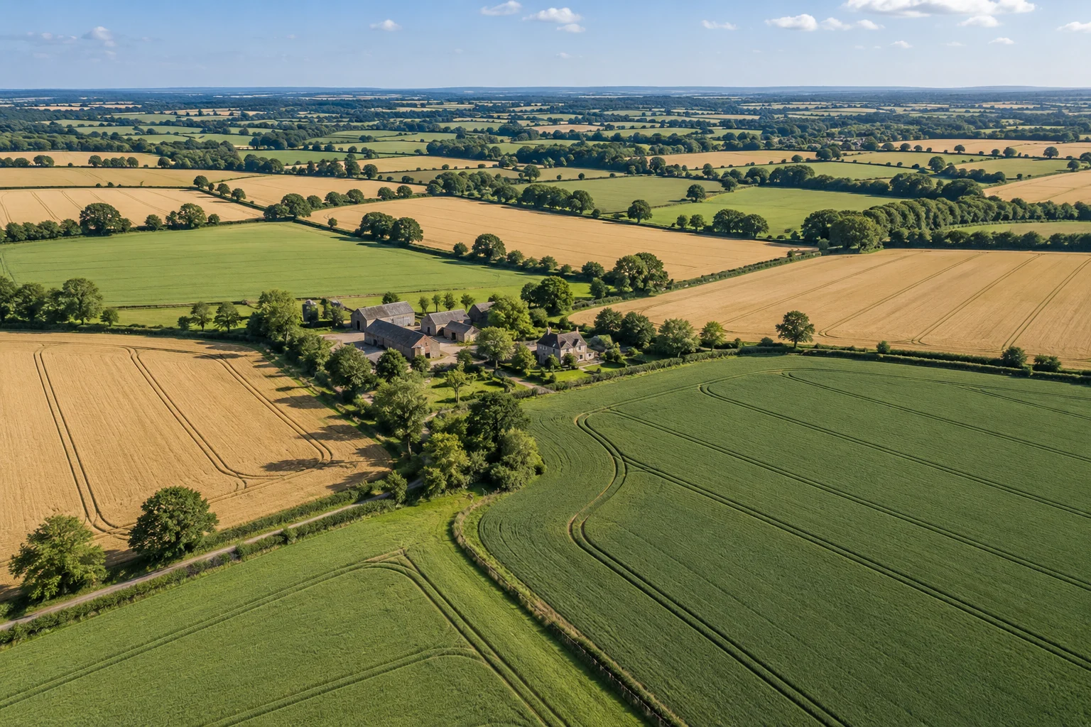
Aerial images and footage of fields, farms, rural buildings, estates and land.
What this service offers
A wider perspective can show the character and layout of a rural location, from a farmstead and its buildings to the relationship between fields and surrounding countryside. We shape the brief around the features you need to record or promote.
For farmers, landowners, rural businesses and estate managers.
What we can capture
- Fields, rural buildings and farmsteads
- Land and estate setting
- Photography or footage for visual records and promotion
Planning your project
Share the location, access arrangements and any livestock or sensitive areas. This is visual imagery, not boundary verification, crop diagnosis or a professional land survey.
Hyde Aerial is based in Leicestershire and welcomes enquiries from Leicester, Loughborough, Hinckley, Coalville, Melton Mowbray, Market Harborough and surrounding areas. Share the postcode so we can assess travel and feasibility.
Every project is subject to a site and airspace assessment, suitable weather and any required permissions. The quote confirms the scope, agreed deliverables and timing before you book.
Let’s plan your project
Start with a location and an idea
Tell us what you need. We will discuss the brief, assess feasibility and prepare a quote.